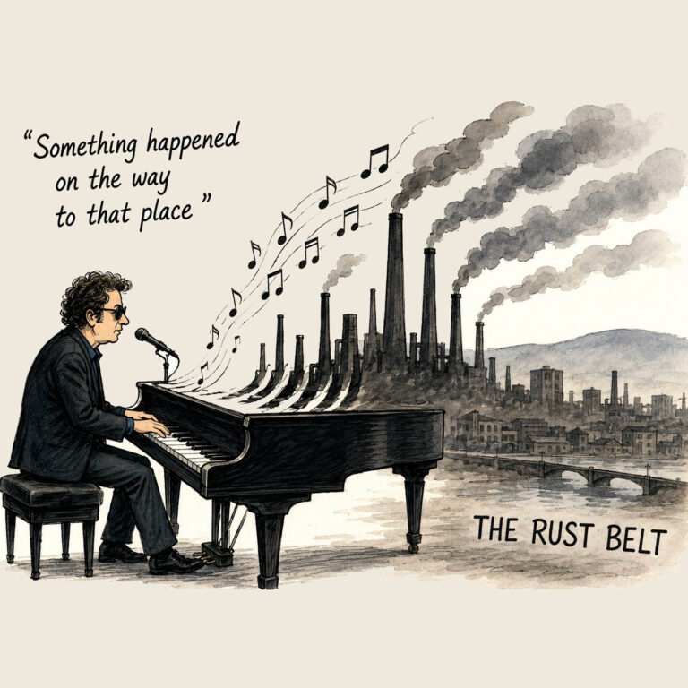
A Natural (and Occasionally Unnatural) History of Beaver County, Part 3
By Rodger Morrow
Editor & Publisher, Beaver County Busines
Listen to a podcast discussion about this article.
Stand at the tip of Beaver where the Beaver and Ohio Rivers braid together and you’ll hear two centuries of voices.
Canal men hollering for mules, millwrights shouting over wheel splash, and flood victims muttering about the county’s sodden luck. Even today, barges and kayaks slip past each other as though history were still negotiating which mode of transport gets right-of-way.
If Beaver County has always been a county of work, then water has always been the worker that never clocks out.
The Canal County Years
In 1832, the Beaver Division of the Erie Extension Canal opened north from Rochester. By 1844, the full 136-mile waterway stretched to Lake Erie, climbing nearly a thousand feet through 137 locks. It carried lumber, coal, iron, and farm produce, and for a brief moment made Beaver the linchpin between Pittsburgh’s rivers and the Great Lakes. Railroads, of course, soon ate the canal’s lunch. By 1872 the locks were abandoned, the towpaths overgrown. But the river towns it seeded—Rochester, New Brighton, Beaver Falls—remained, each with a watery origin story.
Millstreams and Industry
Not every stream aspired to greatness. Brady Run, Brush Creek, and a dozen other creeks churned quietly, powering sawmills, gristmills, and early workshops. By the late 19th century, these trickles had given way to giant intakes feeding steel mills and power plants. The county’s waters, once local muscle, became industrial lifeblood.
Waters to Wellness
Before the age of bottled seltzer and spa retreats, Beaver County had Frankfort Mineral Springs. Perched above Raccoon Creek, Edward McGinnis built a hilltop resort in the mid-1800s where city folk came to “take the waters.” The springhouse promised cures for everything from dyspepsia to ennui. Today, hikers at Raccoon Creek State Park stumble across the mossy stone ruins and the grotto waterfall that once sold health by the glass.
Meanwhile, in Beaver Falls, a 35-foot cascade we now call Buttermilk Falls thundered over a sandstone lip. Long a quarry scar, it was reclaimed as public land—one of the county’s most photogenic picnic spots.
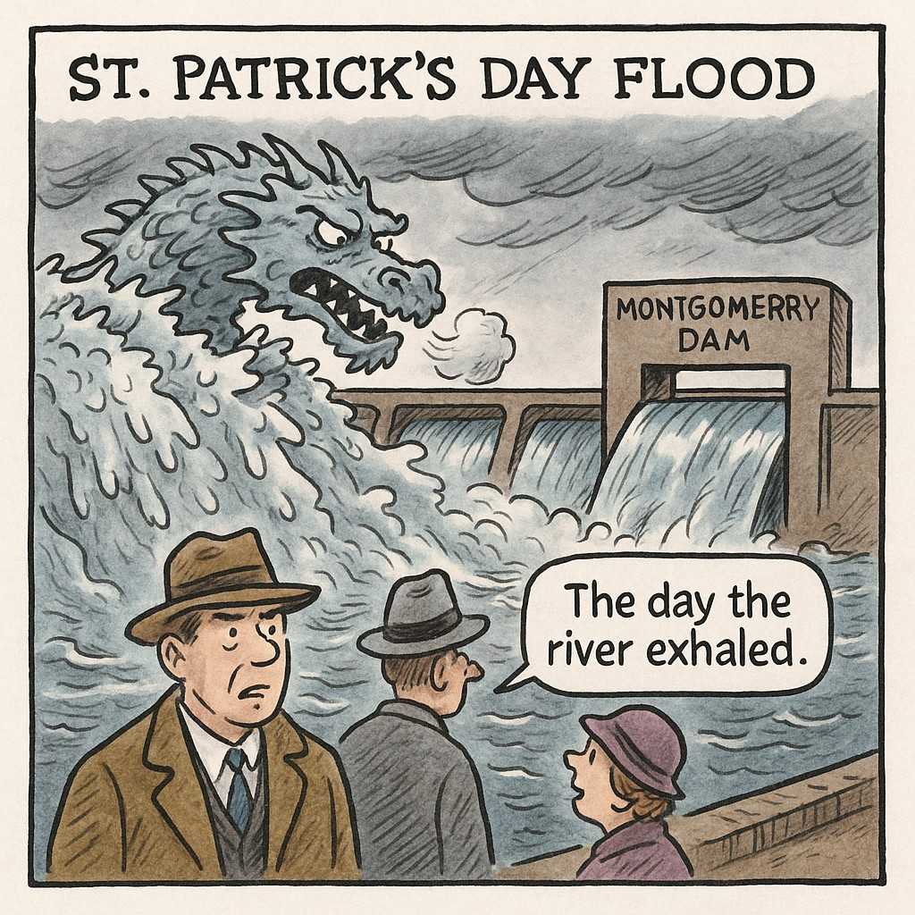
When Water Wins
The St. Patrick’s Day Flood of 1936 reminded everyone who’s boss. Two days of warm rain and melting snow jammed the Ohio and Beaver with ice. At Montgomery Dam, spectators feared the whole structure would go, until an ice gorge finally snapped. The lesson was etched deep: tame the rivers or they’ll write their own policy.
Modern Waters, Modern Locks
After the devastation of the 1936 flood, the U.S. Army Corps of Engineers set about taming the Ohio with a chain of high-lift locks and gated dams. By the 1950s, Montgomery Lock and Dam at Ohioville and Dashields near Glenwillard were part of a system designed to stabilize water levels, prevent ice jams, and guarantee year-round navigation.
Today, that system is itself in need of renewal. The Corps is engaged in a multi-decade modernization effort to replace aging structures, widen locks to accommodate larger barges, and update gate machinery long past its intended lifespan. Montgomery Dam— famous locally for its 1936 near-disaster—is slated for extensive rehabilitation to keep it safe and functional for another generation.
For Beaver County, these projects are more than engineering curiosities. They’re the backbone of river commerce: coal, steel, chemicals, and now construction materials and containerized goods all float past the county’s riverfront, bound for Pittsburgh or the Mississippi. Each upgrade promises to keep Beaver’s stretch of the Ohio competitive in a global economy where tonnage still counts.
The Watershed Today
Today, Beaver County sits inside six named watersheds: Beaver River, Connoquenessing, Raccoon, Kings Creek–Ohio, Montour Run–Ohio, and the North Fork Little Beaver. Conservation groups fuss over water quality, paddlers test their luck on Raccoon Creek after a rain, and anglers swap stories along Brush Creek.
The waters that once carried packet boats and millraces now shoulder kayaks, fishing lines, and park trails. In every ripple is the reminder: this county has always run on water, whether for profit, for peril, or simply for pleasure.
Sidebar: By the Numbers
- 6 watersheds touch Beaver County.
- 136 miles – length of the Beaver & Erie Canal.
- 137 locks – the stair-steps that lifted boats 977 feet from Beaver to Erie.
- 35 feet – height of Buttermilk Falls near Beaver Falls.
- 1936 – year of the legendary St. Patrick’s Day Flood.
Service Box: If You Go (Springs & Falls)
- Frankfort Mineral Springs, Raccoon Creek State Park – Trailhead parking off Route 18; ½-mile hike to spring ruins and grotto falls. Best after a rain.
- Buttermilk Falls, Beaver Falls – Access via Homewood–Big Beaver exit; short walk from parking lot. Picnic tables, but footing is slick near the pool.
From canal towpaths to kayaks, from cure-alls to floods, Beaver County’s waters have shaped the county’s fortunes more than any politician ever did. They still do—patient, restless, and everywhere.